Last updated on May 14, 2026
Bristlecone-Geo assisted with the preparation of USFS long form mineral potential report for the Mt. Emmons federal land exchange located within the Grand Mesa, Uncompahgre and Gunnison National Forests; and Rio Grande National Forest; Gunnison and Saguache Counties, Colorado. The report provided an in-depth assessment of the geologic and mineral resources for seven properties comprising 1,175-acres located within the West Elk Volcanic Field, Gunnison Uplift, and San Juan Volcanic Field. Project team: Rare Earth Science, Bristlecone-Geo, and Pangaea Geospatial. Stakeholders: Crested Butte Land Trust, Mount Emmons Mining Company, U.S. Forest Service, and the Western Land Group.
During a period between 1974 and 2008, multiple companies, including AMAX Exploration, Cyprus-AMAX, US Energy Corp, Phelps Dodge, Mount Emmons Mining Company, and Kobex Resources, completed 190,769 feet of surface and underground diamond drilling, as well as surface and subsurface geologic mapping and sampling of the Mt. Emmons molybdenum deposit.
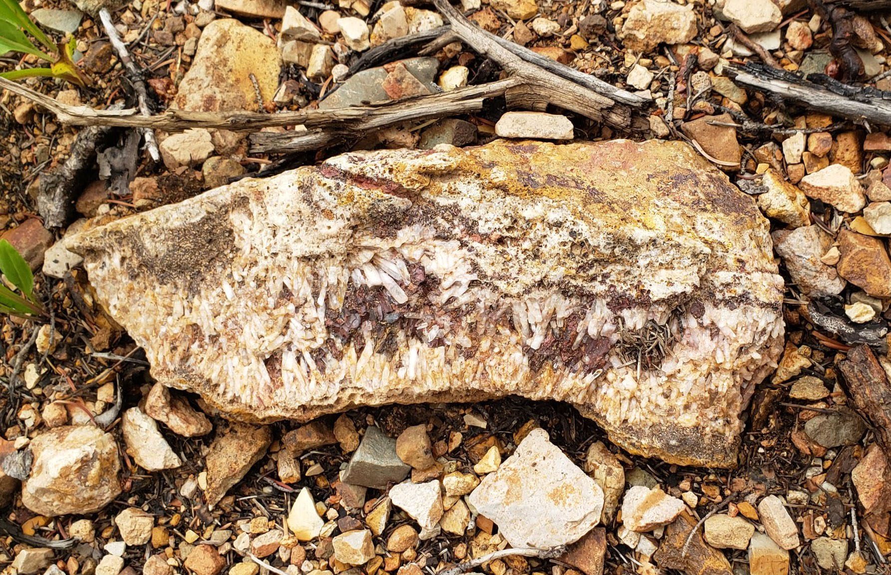
A regional aeromagnetic survey was the only geophysical work completed at Mt. Emmons prior to the discovery of the molybdenum deposit. Anomalous magnetic highs were found associated with molybdenum, gold, silver, zinc, tungsten, copper, lead and other mineralized rocks in Redwell and Red Lady Basins. Upon the discovery of magnetite associated with the ore deposits, the aeromagnetic survey data (originally flown in 1970), was reinterpreted toward identifying the buried Red Lady Stock. Follow-up ground-based magnetic surveys on the southern slopes of Mt. Emmons confirmed the anomaly discovered during the reinterpretation. Other geophysical studies included a gravity survey and a complex resistivity survey. Survey results associated with the gravity survey were inconclusive. Results from the complex resistivity survey confirmed mineralization associated with sulfide ore materials along the Keystone and other local veins.

This Federal Mineral Potential Report was prepared in accordance with classification systems developed by the Bureau of Land Management, United States Geological Survey, and Colorado Geological Survey by a Certified Professional Geologist registered with the American Institute of Professional Geologists (AIPG).

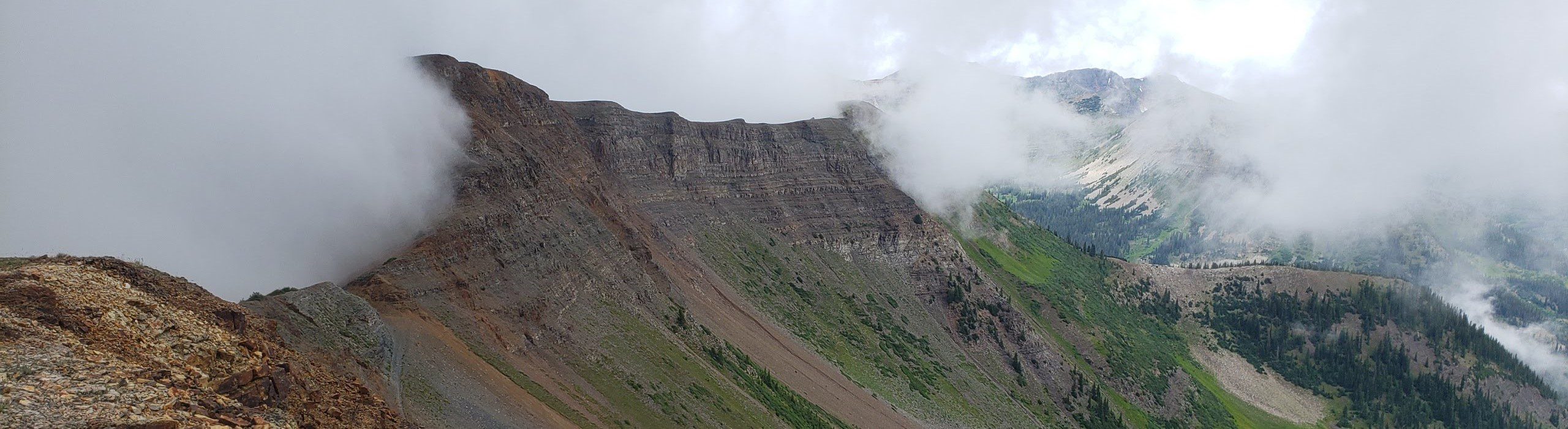
(photo by author, 2022)

(photo by author, 2022)
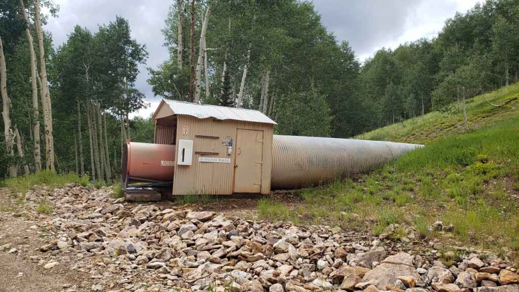
(photo by author, 2022)

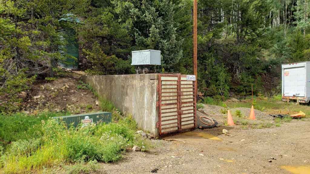
(photo by author, 2022)

(photo by author, 2022)
(photo by author, 2022)
(photo by author, 2022)

(photo by author, 2022)
(photo by author, 2022)

(photo by author, 2022)
Discover more from Bristlecone-Geo
Subscribe to get the latest posts sent to your email.