
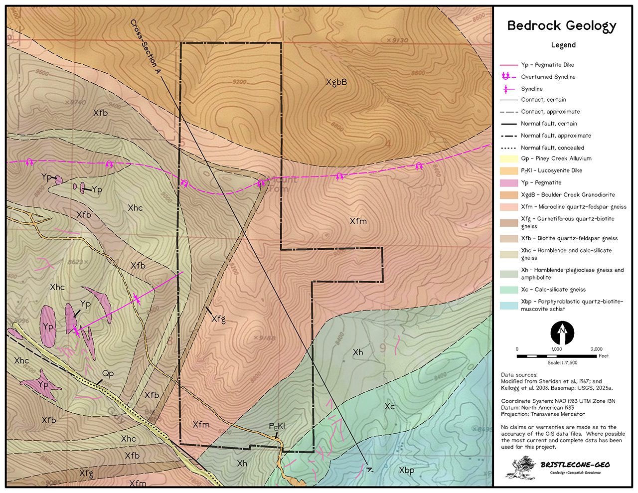
From recent mapping to historic map conversions, Bristlecone-Geo crafts geologic maps, cross sections, stratigraphic columns, and other illustrations for baseline documentation and mineral assessment reports.

Colorado Geological Survey
Together with Pangaea Geospatial, Bristlecone-Geo has provided ongoing geologic map support to the Colorado Geological Survey (CGS) since 2008.
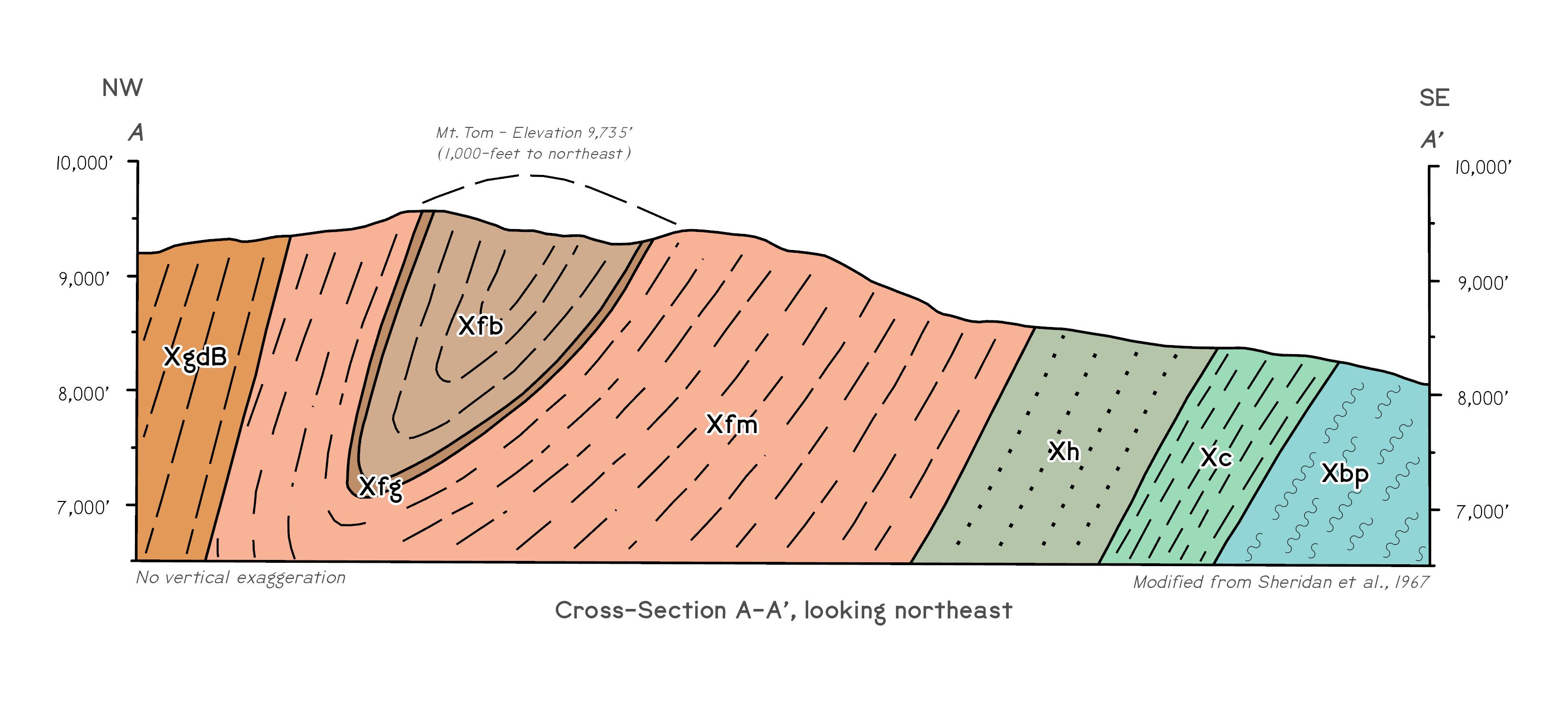
Utilizing authoring geologist’s field notes and sketches, project elements include the development of geologic cross sections, correlation of map units, and other illustrations. CGS geologic map projects are partially funded by the USGS National Cooperatibe Geologic Mapping Program.
Beginning in 2020, we have transitioned map development to the USGS Geological Map Schema (GeMS), a process which standardizes digital geologic map publications across the United States. Ultimately GeMS geologic maps are combined within the National Geologic Map Database (NGMDB) for seamless national viewing and analysis.


