Our geospatial technical services includes Geographic Information Science (GIS), Global Positioning Systems (GPS) inventory surveys, Unmanned Aircraft Systems (UAS) aerial imagery, E911 addressing, parcel mapping, and cartography.
Data Compilation — Cleanup of diverse sourced data into a cohesive standardized format.
Digital Conversion — Turning paper maps and space records into searchable digital formats.
Data Collection — GPS inventory surveys, UAV aerial imagery, and field map apps.
Data Integration — Linking online maps to documents & photos in AWS S3 Cloud Storage.
Interactive Web Maps — Creating, publishing, and maintaining ArcGIS Online maps.
Cartography — We makes maps. What more can we say?
Specialties include:
- Land parcel + mining claim mapping
- 3D terrain modeling + topographic mapping
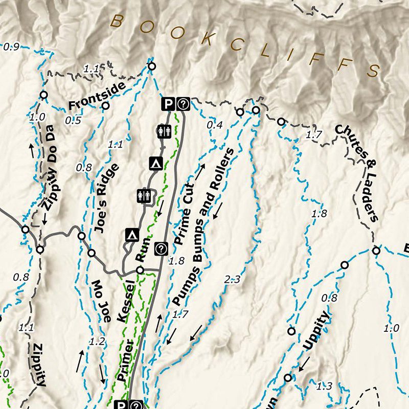
- Recreational trail maps + trailhead kiosks
- Conceptual site design + characterization
- GeMS geologic maps + cross-sections


Representative GIS Project Experience
San Luis Valley E911
Provided monthly dispatch updates to the San Luis Valley E911 Telephone Authority for the Colorado State Patrol Alamosa Communications Center. Stakeholders: Alamosa, Conejos, Costilla, Mineral, Rio Grande, and Saguache counties; City of Alamosa; Colorado State Patrol. Support tasks include:
- Review and (or) calculating new address points for communities and counties.
- Update geospatial data for Solacom Guardian 9-1-1 call handling.
- Provide road centerline updates to the MSAG Coordinator.
- Develop a geocoding address locator for road segment fishbone visualization.
- Develop an address point parity anomaly script to symbolize address parity errors.
- Review and update data for migration to the NENA NG911 database schema.

Saguache County
Provided monthly as-needed subscription-style GIS support to the Saguache County Assessor and Land Use Departments. Tasks include:
- Update parcel geometries and ownership attributes.
- Map subdivisions, boundary line adjustments, and consolidations.
- Maintain land parcel geodatabase populated with Tyler-Eagle ownership data.
- Update annual property sales geospatial map layer; coordinate with appraisal team.
- Update and maintain the county’s public Esri ArcGIS Online map.
- Preparing land development permit maps and contact lists.
- Map assigned address points and road right-of-way centerlines.
- Create and publish annual Treasurer tax lien sales as ArcGIS Online map layer.
- Provide other as-needed GIS and cartography support.

Santa Fe Trail Ranch Wildfire Protection Plan
Provided GIS and map support for an update to the Santa Fe Trail Ranch Property Owners Association Community Wildfire Protection Plan (CWPP).

Region 10 Broadband
Contracted by the Region 10 League for Economic Assistance and Planning to update their broadband internet infrastructure maps.

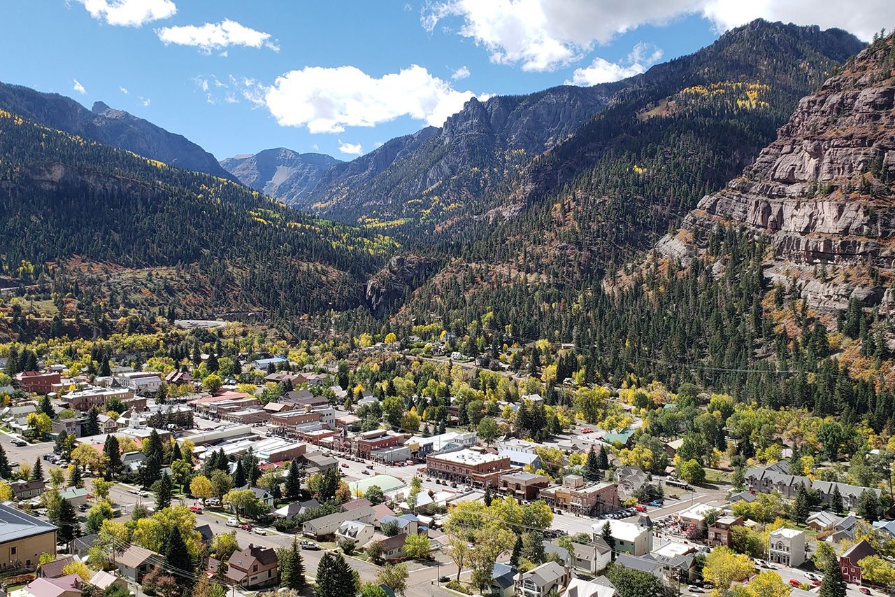
City of Ouray GPS Inventory Survey
As part of a city master plan update, Bristlecone-Geo provided GPS inventory assistance for the city’s existing wastewater sewer infrastructure.
Rapid Creek UAV Aerial Imagery
Provided UAV supported aerial photography services for a utility corridor right-of-way project to Ute Water Conservancy District.

Fording River Fugitive Methane Study
Contracted to provide GIS analysis for the development of an approach towards understanding the magnitude of the fugitive methane emissions at Teck Resources Fording River Mine Extension Project in the East Kootenay region of British Columbia. Fugitive natural gas emissions account for approximately 6% of all global greenhouse gas emissions. Used in steel making metallurgical coal is mined at Fording River, transported by rail to Vancouver, British Columbia, and exported to Asian-Pacific countries by sea. Clients: Teck Resources, Raven Ridge Resources.


Additional Representative GIS Projects —
- Riverside Cemetery GIS – Hotchkiss, Colorado
- Cedar Hill Cemetery GIS – Paonia, Colorado
- Bethlehem Cemetery GIS – Paonia, Colorado
- San Luis Valley Telephone Authority E911
- Saguache County Assessor and Land Use Departments
- Region 10N Broadband Internet Infrastructure GIS Update
- Mosca Wastewater Treatment Plant (WWPT) GIS
- SFTR Community Wildfire Protection Plan GIS
- Colorado Headwaters Land Trust Conservation GIS
- Las Animas County Assessor Office
- Grand Mesa Metropolitan District WWTP UAV imagery
- Town of Dinosaur WWTP UAV imagery
- Town of Nucla WWTP UAV imagery
- Rapid Creek Utility Corridor UAV Imagery
- Viscount Mining Corp – Silver Cliff Project UAV Imagery
- City of Ouray Master Plan GPS Inventory Survey
- Tamarisk Riparian Restoration Characterization
- Mesa County Assesssment Cartography (GIS)
- Orchard City Floodplain Map Conversions
- Mesa Land Trust Conservation GIS Database
- Black Canyon Regional Land Trust Conservation GIS Database
- El Paso Energy – Raton Basin Basemap Imagery
- Vermejo Park Ranch Basemap Imagery
- Town of Orchard City Planning Commission
- NRCS Ridgway Soil Survey Map Conversions
- Montrose County Assessment Map Conversions
GIS-Driven Cartography Projects —
- Rio Grande County Weed District Maps
- Colorado Potato Certification Service Maps
- Alamosa School District Maps
- Gunnison Bluffs Open Space Trails Wayfinding
- Oakridge Open Space Trails Map – Oregon
- Lazy V Ranches Property Inventory Maps
- Legacy Properties Ranch Inventory Maps
- Tabeguache (Lunch Loop) Trails Wayfinding
- Colorado Trail Official Guidebook Maps, 10th Edition
- Grand Valley Trails (COPMOBA) Trail Maps
- West End Trails (COPMOBA) Trail Maps
- GJ Sentinel Ride Magazine MTB Trail Maps
- Palisade Plunge Trail Wayfinding

