Well-designed maps foster a better understanding of the surrounding terrain, making landscape navigation easier for trail users and explorers alike. Bristlecone-Geo utilizes necessary information to make this happen.
- Spatial Understanding — Maps provide a visual representation of space, allowing us to understand the layout and relationships between different geographic features. This fosters a better understanding of our surroundings, making navigation easier.
- Navigation & Guidance — Maps offer detailed information about roads, landmarks, and geographical features, helping individuals reach their destinations efficiently.
- Contextual Overview — Maps provide a concise overview of a place, highlighting key elements like buildings, roads, and natural features. This helps users understand the layout and distances between important points of interest.
- Overcoming Language Barriers — Well-designed maps use symbols and icons that transcend language differences, making them accessible to a wider range of users, including international visitors.
- Planning & Decision-Making — Maps are valuable tools for planning routes and making informed decisions about travel or exploration, especially in unfamiliar territories.
- Accessibility — Maps can be designed to cater to diverse needs, including those with disabilities. Features like tactile elements, high-contrast colors, and readable font sizes ensure inclusive navigation.
Representative Projects
Ride Magazine Trail Maps
Beginning in 2020, Bristlecone-Geo created and has been updating mountain bike trail maps for the Grand Valley Chapter of the Colorado Plateau Mountain Bike Trail Association (COPMOBA).
Each year several maps are included in the Ride Magazine, published by the Grand Junction Daily Sentinel.


Gunnison Bluffs Recreational Trails Wayfinding System
Problem: Users visiting the Gunnison Bluffs trail system, including the Old Spanish Trail (OST), can become disoriented due to an increase in the number of unsigned social trails. Oftentimes, trail users do not understand which trails are officially designated for use and (or) how to correctly return to trailheads.
Solution: Create an Avenza GeoPDF map for GPS-enabled mobile devices helping to present the current location to users and providing directions for safe return to trailheads along designated recreational trails. In parallel, coordinated the design, fabrication, and installation of wayfinding infrastructure. including:
- Trailhead route map and messaging kiosk, located at a designated developed trailhead
- Five map signposts, strategically located throughout the trail system and at small undeveloped trailheads
- 20+ route reassurance markers, including mobile device map QR acquisition codes and directional trailhead return assistance
Stakeholders: Colorado Plateau Mountain Bike Trails Association (COPMOBA), Old Spanish Trail Association, Bureau of Land Management, Mesa County, and the City of Grand Junction. Project funding by REI.


Colorado Trail Official Guidebook Maps, 10th Edition
The Colorado Trail Guidebook has helped trail travelers plan hiking excursions and backpacking adventures since its first edition, published in 1992. In 2023 Bristlecone-Geo completed the cartography for thirty-three maps, each representing one trail segment along the 567-mile Colorado Trail between Denver and Durango.

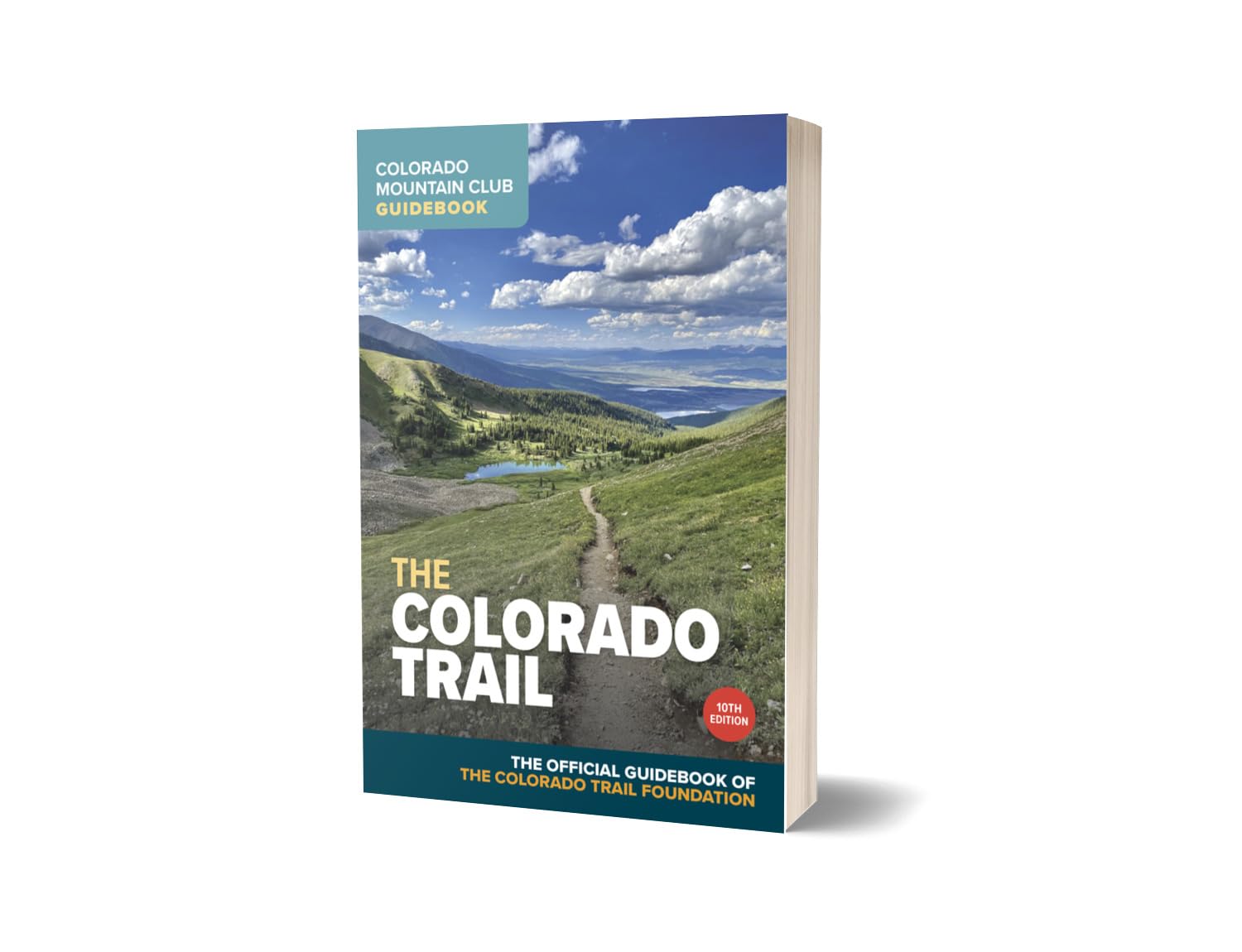

“I’ve leafed through the guidebook page by page and wanted to compliment you on what you’ve produced. It’s the best guidebook yet by far. Better maps, superior reproduction layout — a superb effort overall.”
~Board Member, Colorado Trail Foundation
Palisade Plunge Wayfinding
Project Manager for the design and implementation of informative signposts, interpretive kiosks, and trailside route markers along the 32-mile Palisade Plunge Trail. Through stakeholder meetings, each kiosk was custom designed to present unified content, including cultural, habitat, wildlife, watershed, and safety, for trail users and enthusiasts.
Stakeholders included: Town of Palisade, City of Grand Junction, Mesa County Search & Rescue, Colorado Parks & Wildlife, Van Winkle Ranches, United States Forest Service Grand Valley Ranger District, Bureau of Land Management Grand Junction Field Office, and Colorado Plateau Mountain Bike Trail Association.
Working with local land managers and other stakeholders, helped to create the designs for 15 trailhead and trailside kiosk panels located along the 33.8-mile Palisade Plunge Trail, developed by Singletrack Trails.

Tabeguache (Lunch Loop) Trails
In parallel to the development of the Monument Trail, a concrete shared-use recreation path which connects Grand Junction and the Colorado National Monument along the No Thoroughfare Canyon corridor, Bristlecone-Geo assisted with the development of a trailhead map and trail intersection maps within the adjacent mountain bike trail system.


Additional Recent Representative Cartography Projects —
- Colorado Geological Survey Geologic Maps
- Rio Grande County Weed District Maps
- Colorado Potato Certification Service Maps
- Alamosa School District – School Locator Maps
- Santa Fe Trail Ranches Community Wildfire Protection Plan
- Oakridge Open Space Trails Map – Oregon
- Lazy V Ranches Property Inventory Maps
- Legacy Properties Ranch Inventory Maps
- COPMOBA West End Trails Maps


